
Geomodera is a team specializing in geodetic and cadastral surveying that helps ensure everything is clear and organized—from the first measurement to well-organized documentation. For more than 10 years, we’ve been working in a field where accuracy, deadlines, and a smooth process are paramount.
Throughout our history, we have contributed to numerous projects across Lithuania: we’ve helped with the registration and approval of various structures, conducted numerous land and property surveys, and worked on both individual commissions and business projects. Our strengths lie in our professional team, clear communication, and commitment to delivering results.
We offer the following services:
- Handover of homes and other structures (preparing documents, coordinating processes)
- Cadastral Surveys (of land parcels, buildings, and premises)
- Surveying Services (site layout, control surveys, and other work for the construction and design phases)
If you need a reliable partner who works with precision and clarity, Geomodera is ready to help.
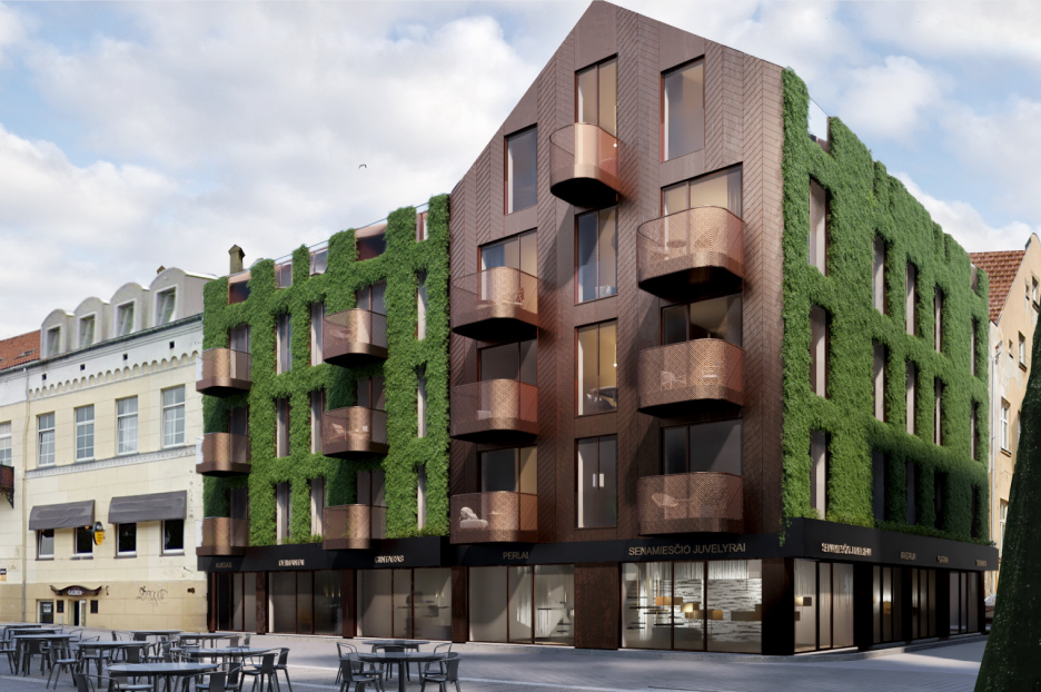
Services
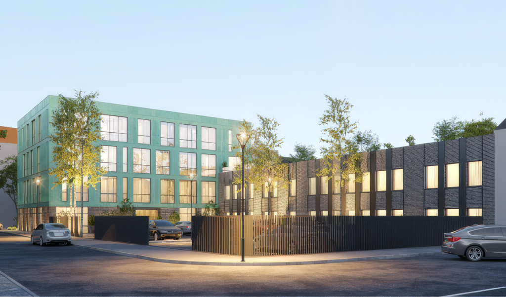 Acceptance of Houses and Other Structures
• Certificate of building construction without deviations from the essential design solutions—acceptance of an unfinished building
• Declaration of completion of building construction—acceptance of a 100% completed building
• Updating information about the builder in the building permit
• Notification of the start of construction, and the hiring or appointment of the contractor and the heads of the main construction areas
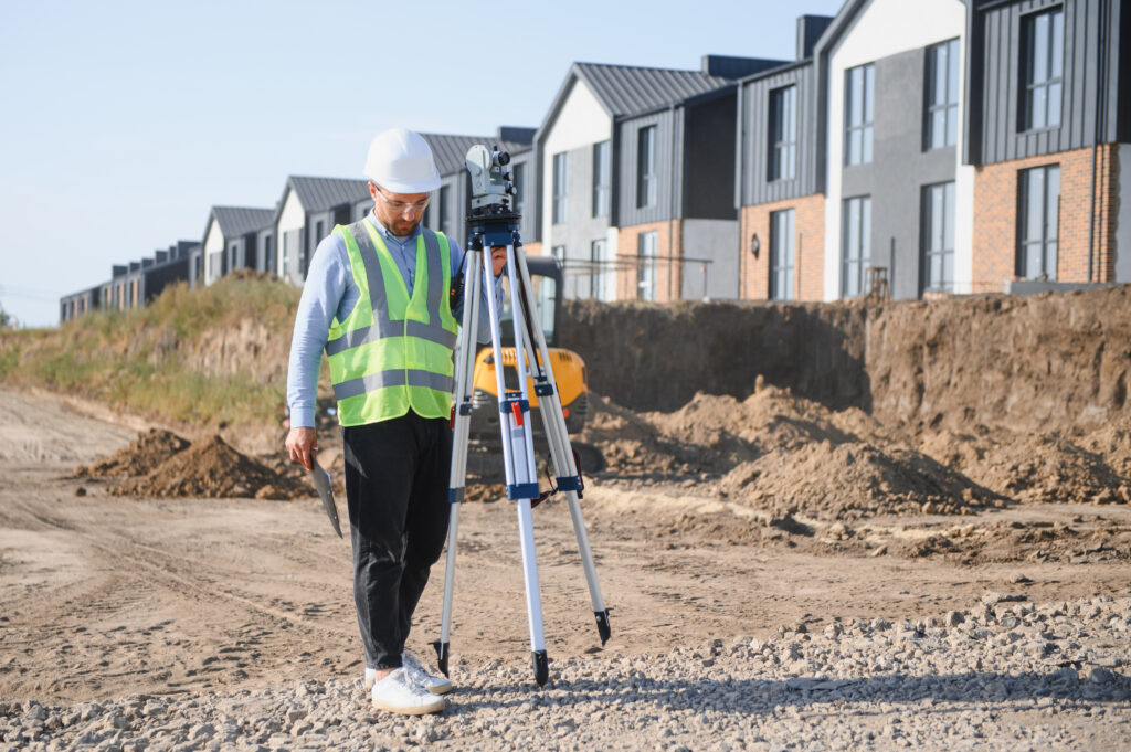 Cadastral Surveys
• Cadastral surveys of buildings/apartments (inventory)
• Cadastral surveys of utility networks and other structures
• Cadastral surveys of land parcels
 Surveying Services
• Topographic maps
• Utility (geodetic) maps
• Control (geodetic) surveys of structures
• Geodetic services on construction sites
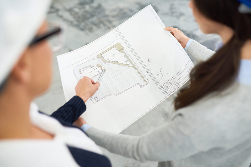 Other Services
• Plans for establishing internal usage regulations (for land parcels/buildings)
• Plans for land parcel subdivisions (for the operation of structures and facilities)
• Schemes for determining land use categories
• Plans for establishing easements
• Registration of special land use conditions
• Marking work (for foundations, plot boundaries, fences, utility networks, etc.)

