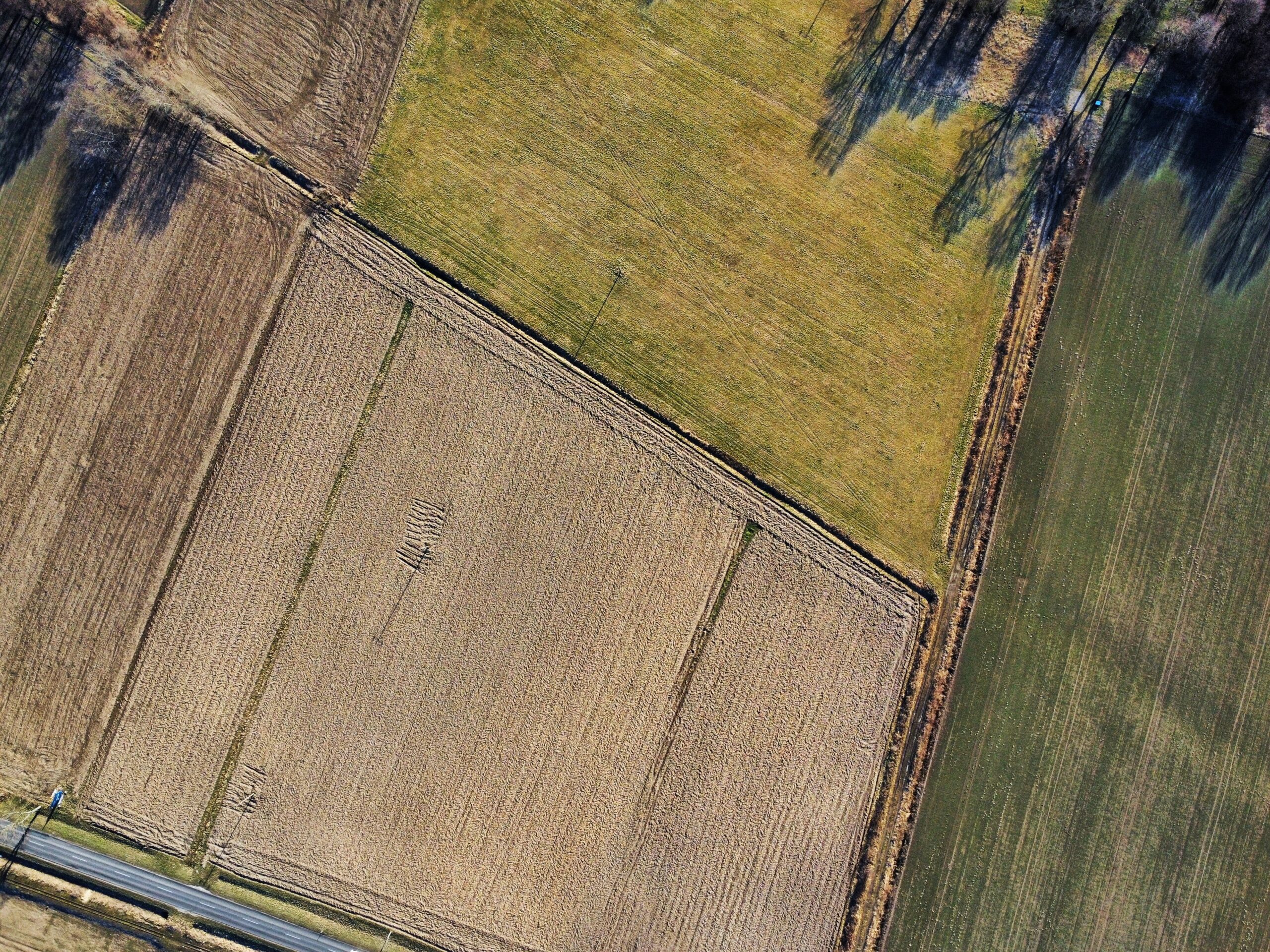
With the amendments to the Real Estate Cadastre Law taking effect this July, landowners, as well as trustees of state- or municipality-owned land, have been granted the right to decide for themselves whether the boundaries of their plots should be marked with boundary markers. Until now, such labeling has been required.
If it is decided not to install boundary markers, this decision is recorded in the land parcel boundary marking and demonstration report, which the surveyor prepares while conducting cadastral surveys of the parcel.
The new procedure applies to residents who are conducting cadastral surveys of land parcels, establishing or adjusting their boundaries, as well as to farmers and other land users. In some cases, physical boundary markers may be inconvenient, interfere with ongoing activities, or be easily damaged.
In the event of a dispute, the official data will remain the most important:
If disagreements arise in the future regarding the boundaries of the land parcel, the resolution of the dispute will not be based solely on the boundary markers located on-site. The basis would consist of official Real Estate Cadastre data, parcel plans, land-use planning documents, and land management projects. Therefore, the removal of boundary markers does not in itself reduce legal clarity regarding the boundaries of a land parcel.
Before starting work, it's a good idea to check the boundaries on site. In cases where the exact boundary of a plot is important when planning the installation of a fence, construction, or other work, it is recommended to consult a surveyor before beginning the work. A specialist can show the established plot boundaries on-site even in cases where permanent boundary markers have not been installed.
When should you see a specialist?
Although boundary markers are no longer mandatory, the decision to do away with them should be made after assessing the specific circumstances.
Consulting a surveyor is particularly useful when:
- The plot boundaries are marked on the real estate cadastral map as potentially subject to correction;
- The plot borders on state-owned land;
- Construction or other work is planned that requires the precise determination of the plot’s boundaries.
In any case, it is important to choose a solution that ensures clarity and helps avoid potential inconveniences in the future.