Although many land parcels in Lithuania were registered many years ago, not all of them have accurate cadastral surveys. Some of the plots are still registered based on preliminary measurements, which do not reflect the actual situation on the ground. This may cause inconvenience when planning construction, selling real estate, or conducting other transactions related to the property.
What are cadastral surveys?
Cadastral surveys involve the precise determination of a land parcel’s boundaries, area, and other data using modern surveying equipment. Once the measurements have been taken, documents are prepared and registered in the Real Estate Registry, thereby ensuring that the plot’s details are accurate and legally clear.
When is it a good idea to update cadastral surveys?
It is recommended to take new measurements in the following cases:
you are planning to sell or buy a plot of land;
you intend to build a residential house or other structure;
you want to divide or merge plots;
you plan to change the land use designation;
there are uncertainties regarding the plot’s boundaries with neighbors;
the plot is still registered based on preliminary measurements.
The more accurate the property data is, the smoother all real estate-related processes go.
What kinds of problems can accurate measurements help prevent?
Outdated or inaccurate data can lead to various challenges. In practice, it is not uncommon for actual fences, structures, or access roads to differ from the plot boundaries listed in the registry. Such discrepancies may only come to light once design or construction work has begun, so resolving them takes time and incurs additional costs.
Updated cadastral surveys help:
clearly define the boundaries of the property;
avoid disputes with owners of neighboring properties;
ensure a smoother process for obtaining building permits and designing projects;
expedite real estate purchase and sale transactions;
to have accurate data that reflects the actual situation.
Why is this important when selling real estate?
Buyers are increasingly paying attention to whether a plot of land has accurate cadastral measurements. Clearly defined boundaries build trust, help avoid additional questions during the transaction, and can speed up the sales process.
If there are plans to construct new buildings or develop the area, accurate surveying data becomes one of the most important stages of the design process.
Modern technology ensures even greater accuracy
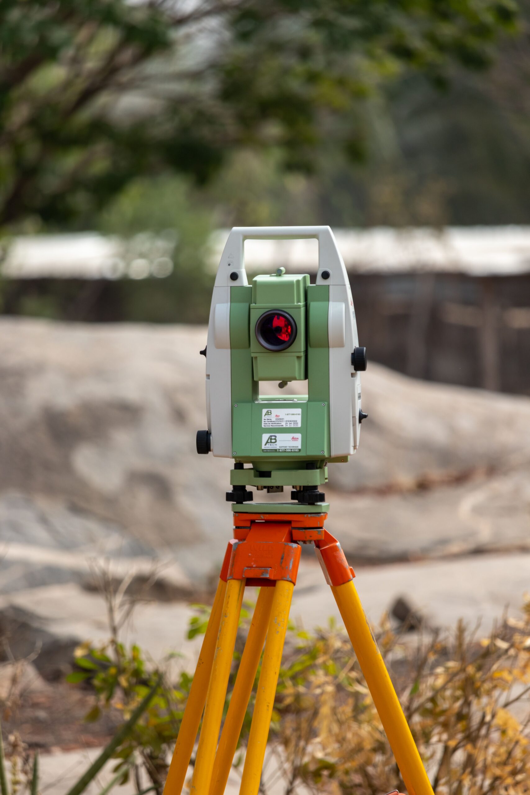
Today, cadastral surveys are conducted using modern GNSS receivers, electronic tacheometers, and other professional surveying equipment. This enables extremely high measurement accuracy and ensures that the data produced complies with applicable legal requirements.
Professionally conducted cadastral surveys are an investment in the safe and smooth management of real estate. Whether you’re planning a construction project, a sale, or simply want to have accurate data about your property, updated survey measurements will help you avoid future complications and provide greater clarity for all processes related to the property.